 Maps
Maps
Molokaʻi Maps and Geography
Molokaʻi is separated into 3 regions: Central Molokaʻi, the West End and the East End. 38 miles long and just ten miles wide, Molokaʻi is in the center of the Hawaiian Island chain and is just 25 miles southeast of Oʻahu, eight miles away from Maui.
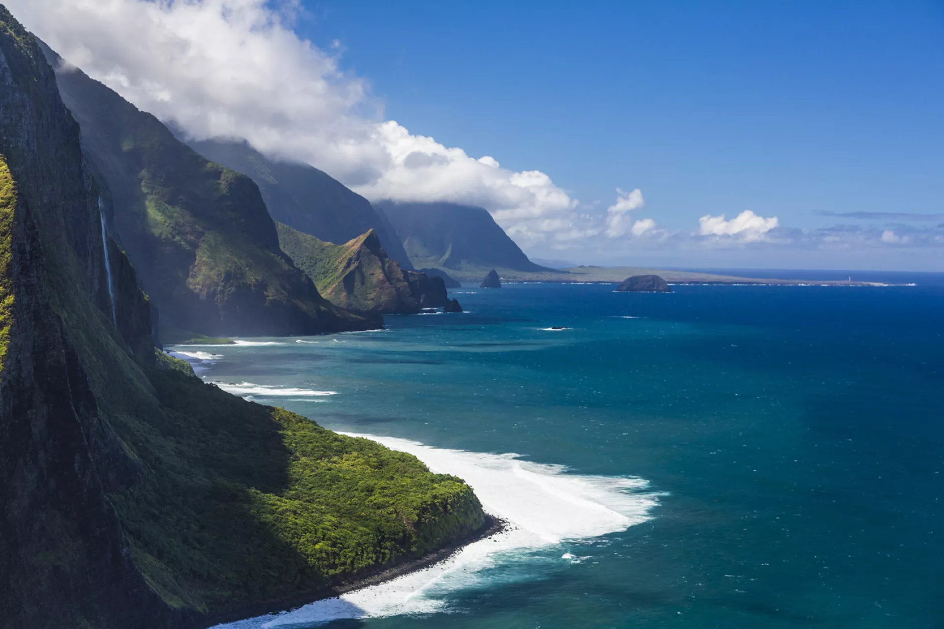
Two volcanoes formed Molokaʻi: Maunaloa on the West End and Kamakou to the east. Spend some time in Maunaloa town and you’ll notice it is dryer, flatter and more arid here than in the rugged, verdant valleys of East End. Eastern Molokaʻi features largely inaccessible mountains and sea cliffs. Mt. Kamakou is Molokaʻi’s highest point (4,970 feet) and the sea cliffs of the North Shore Pali are the tallest in the world (3,600 to 3,900 feet). Kalaupapa Peninsula juts out from north central Molokaʻi, home to the isolated Kalaupapa National Historical Park.
Download a PDF driving map of Molokaʻi.
View the map of Molokaʻi as an image file.
